After a warm, dry fall, Mother Nature did quite a 180 on the final weekend of the climatological season.
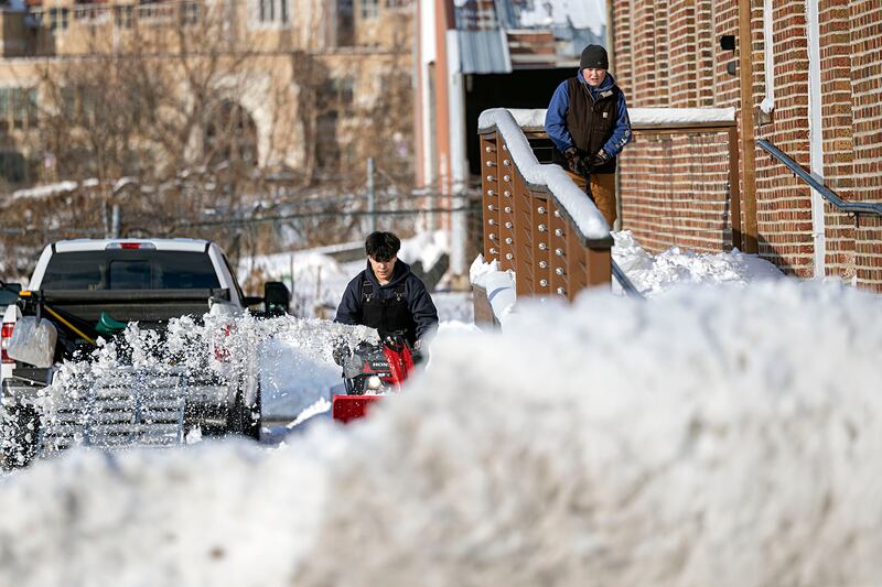
A massive weather system blanketed much of the state with anywhere from 2 to 12-plus inches of snow Nov. 28-29. Just a day later many areas of the state received another 2-4 inches Dec. 1-2 followed by some late-week activity.
“It’s very rare to get that significant of snowfall that early in the season,” Trent Ford, state climatologist with the Illinois State Water Survey, told Farmweek. “There were a few daily records broken.”
The National Weather Service reported Springfield and Lincoln set a record for the snowiest November day with 8.9 and 7.8 inches, respectively, Nov. 29. Elsewhere, Moline received 8.8 inches of snow as of Nov. 29 (which was more than 8.2 inches received there all of last season) while areas from Geneseo and Freeport to Gurnee received up to a foot or more of snow.
So are the snowy end to fall and active start to climatological winter (Dec. 1) signs of what’s to come this season (the winter solstice officially arrives Dec. 21)?
Not necessarily, but be prepared for anything, according to Ford.
“Historically, having early snowfall is not a harbinger for a really intense winter. There’s not much relationship between how much snow we get in November and December with what we get in January and February. That said, the outlook is for a more active winter than we’ve seen in recent years.”
The two key ingredients which ultimately determine winter precipitation patterns are temperature and the storm track. And the outlook currently calls for colder and wetter conditions this season, which seemingly could translate to an active snowfall pattern.
“We still have a pretty significant snowpack,” Ford said amid a stretch of sub-freezing temperatures the first week of December. “It’s really something to keep it this long this early.”
The snowpack helps insulate winter wheat and cover crops from brutally cold temperatures while it also provides much-needed moisture.
“The soil temperature (as of Dec. 2) even just 2 inches deep is still in the 40s. So once the snow melts, it will infiltrate the ground,” Ford said.
And the moisture is greatly needed in many areas, especially north of Interstate 70. Statewide, the preliminary temperatures from September through November averaged 3 degrees warmer than normal while precipitation averaged 3.5 inches below normal for the fall season based on preliminary estimates.
“It will be adjusted, but I still think we’ll be in the top 10 warmest (for the final fall ranking) and among the top 20 driest (statewide), Ford said.
People may be cursing this snow, especially if they have to drive in it,” he added. “But, if we stay in this active winter pattern, it’s exactly what we need to help with the drought conditions.”
:quality(70)/s3.amazonaws.com/arc-authors/shawmedia/b945ae41-e0fd-42fd-805a-feca8401d740.png)